Planning a multi-day backcountry route in Canada involves more than choosing a destination on a map. The country's wilderness areas are governed by a patchwork of federal, provincial, and territorial regulations. Permit requirements, seasonal closures, campsite capacity limits, and wildlife zone restrictions vary significantly between parks and even between zones within the same park. Getting these details right before departure avoids fines, forced changes of plan, and situations where a group arrives at a full campsite with no legal alternative.
Understanding the Jurisdictional Landscape
Canada's backcountry areas are managed by several different bodies:
- Parks Canada: Administers 48 national parks and three national marine conservation areas. Backcountry camping in most national parks requires a Parks Canada reservation, typically opening on a fixed date each spring (usually early April).
- Provincial and territorial parks: Each province operates its own reservation system. BC Parks, Ontario Parks, and Alberta Parks have distinct booking platforms, fee structures, and cancellation policies.
- Crown land: In many provinces, Crown land outside park boundaries can be camped on without a permit, but restrictions apply near waterways, in fire zones, and on land under active resource tenures. Confirming status through provincial land-use databases is advisable before planning a Crown land route.
Permit Systems in National Parks
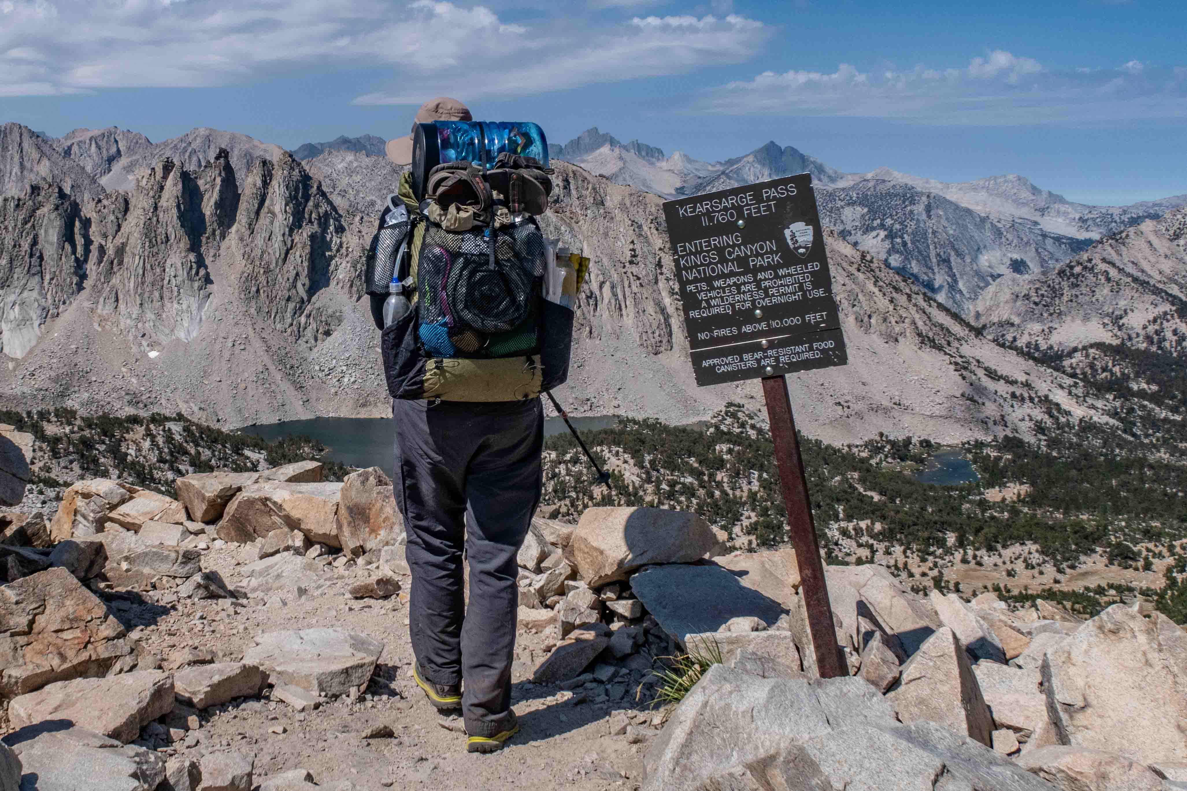
Most high-demand backcountry areas in Canadian national parks now require advance reservations through the Parks Canada reservation system. The opening date of the reservation window each spring is announced on the Parks Canada website and is consistent enough year to year that it can be anticipated. Popular circuits — the Berg Lake Trail in Mount Robson Provincial Park, the Skyline Trail in Jasper, the West Coast Trail on Vancouver Island — fill within hours of opening.
What a backcountry permit typically covers
A Parks Canada backcountry permit grants use of a specific campsite or campsite zone for specific nights. It does not reserve the trail itself, which remains open to day users and non-camping through-hikers. Permits are non-transferable and campsite changes require contacting the park directly — not always straightforward in the field.
Wilderness passes and fire permits
Separate from campsite reservations, most Parks Canada backcountry areas require a wilderness pass (included in the campsite fee for the booking system but required separately for walk-in users). Open fire permits are issued at visitor centres and are subject to fire ban status, which can change on short notice during dry periods.
Route Selection Criteria
Selecting a backcountry route in Canada requires evaluating several factors beyond distance and elevation gain:
Season and snow conditions
Many alpine routes in the Rockies, Coast Mountains, and Selkirks carry significant snow until late June or early July. A route that reads as a straightforward 20 km day hike in August may involve 3–4 hours of postholing through consolidated but unstable snow in mid-June. Snow bridges over creek crossings are present early in the season but absent by late summer — a factor that affects fording difficulty in both directions.
Trail condition reports are published by Parks Canada and by provincial parks on a best-effort basis. The Alpine Club of Canada conditions page aggregates user-submitted reports for technical alpine terrain across BC and Alberta and is updated more frequently than official sources.
Water availability
In Canadian Shield terrain (Ontario, Quebec, Manitoba) and coastal forest regions (BC, Nova Scotia), water is generally abundant throughout the summer. In the southern interior of BC and Alberta's foothills during late summer, creek and spring sources marked on 1:50,000 maps may be dry. Confirming water source reliability from trip reports submitted within the previous two to three weeks is advisable before any late-summer route in these zones.
Campsite selection and impact minimisation
In parks with designated campsites, staying at the assigned location is mandatory. On Crown land and in lightly regulated wilderness areas, the Leave No Trace principles published by Leave No Trace Canada guide campsite selection: camp at least 60 m from any water source, avoid fragile alpine vegetation, and disperse use rather than concentrating it at existing fire rings.
Building a Multi-Day Itinerary
A functional backcountry itinerary specifies campsites by name and coordinates, daily distance and elevation gain, estimated travel time with contingency, primary and alternate water sources for each day, and emergency exit routes. This information should be left with a responsible contact who knows when to call for help if no communication is received by a specified date.
Realistic distance targets
The standard assumption of 20–25 km per day is based on well-maintained trails with moderate terrain and a fit group with moderate pack weight. In practice, many Canadian backcountry routes involve unmaintained sections, route-finding, difficult fords, or extended off-trail travel where 10–15 km represents a full day's effort. Day one of a multi-day trip, with the heaviest pack and the highest morale, tends to be overestimated; day three and four, with fatigue and accumulated minor issues, tend to be underestimated.
Communication and emergency planning
Satellite communicators (Garmin inReach, SPOT Messenger) have become standard equipment for Canadian backcountry travel. They allow two-way messaging in areas without cell service and can initiate a coordinated Search and Rescue response through the satellite network. Filing a trip plan with your provincial emergency management office (for example, AdventureSmart) provides a formal record that SAR teams can access if needed.
Leave Tracing and Reporting
After completing a route, submitting a condition report — trail surface state, water sources encountered, wildlife sightings, campsite infrastructure — benefits the broader hiking community. Parks Canada accepts condition feedback through its parks app; provincial parks and the Alpine Club of Canada maintain their own submission mechanisms. Reports filed within a week of a trip provide the most actionable information for hikers planning the same route in the following weeks.